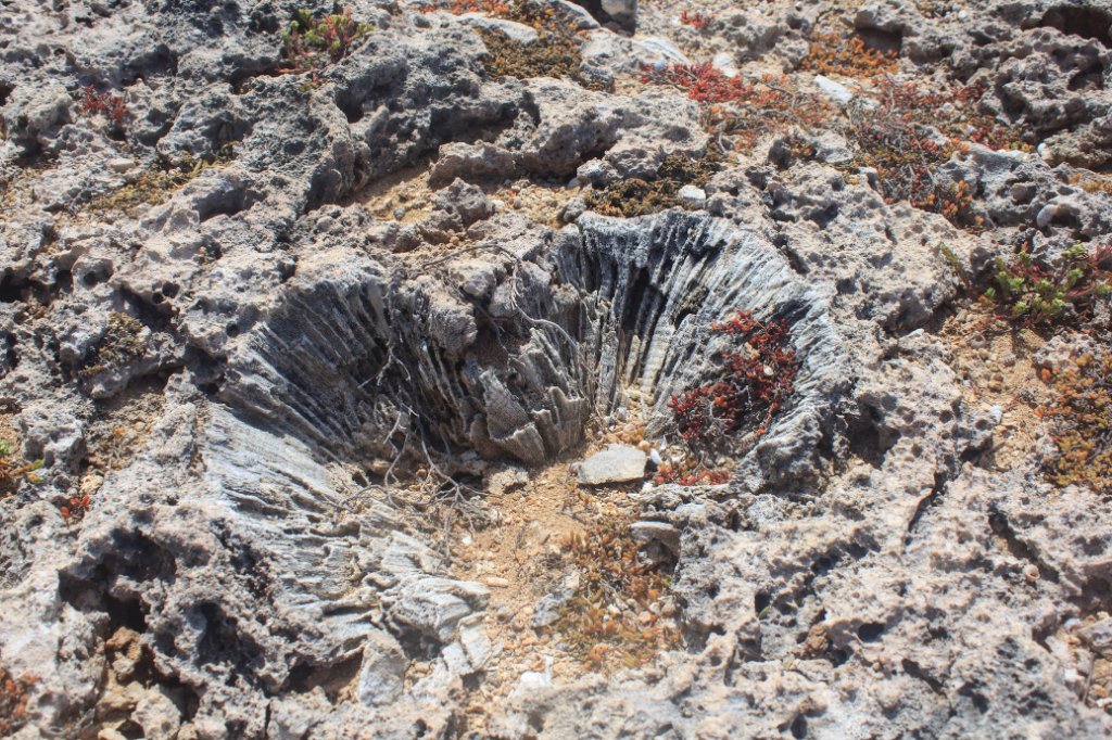
Up Ron & Marjolijn's holiday pictures » 2013-01 Curaçao Prev Next Slideshow

 Previous image  Next image  Index page  Original Image [45-prehistoric coral.jpg - 1.8MB]
33-Otrabanda
34-Punda from Otrabanda
35-In the new cruise terminal
36-The New Harbour from Fort Nassau
37-Negropont and Emmastad from Fort Nassau
38-Looking west from Fort Nassau
39-Fort Nassau and the restaurant
40-Koningin Juliana brug
41-Marjolijn in front of Savonet Manor
42-The north cost at Boka Grandi
43-Sint Cristoffel hill
44-Boka Grandi
  45-prehistoric coral.jpg - prehistoric coral  
46-Boka Grandi
48-Boka Tabla
49-Boka Tabla
50-Big waves at Boka Tabla
51-Big waves at Boka Tabla
52-Sheta Bokas
53-Sheta Bokas
54-Playa Kalki
55-Playa Kalki
56-Playa Grandi
57-Playa Grandi and Playa Forti
58-Playa Grandi and Playa Forti

prehistoric coral Download Original Image
Latitude: N 12°21'33,46" | Longitude: W 69°5'45,32" | Altitude: 7 metres | Location: Dorp Westpunt | Country: Curaçao | Copyright: Ron Harkink | See map
Total images: 77 | Help